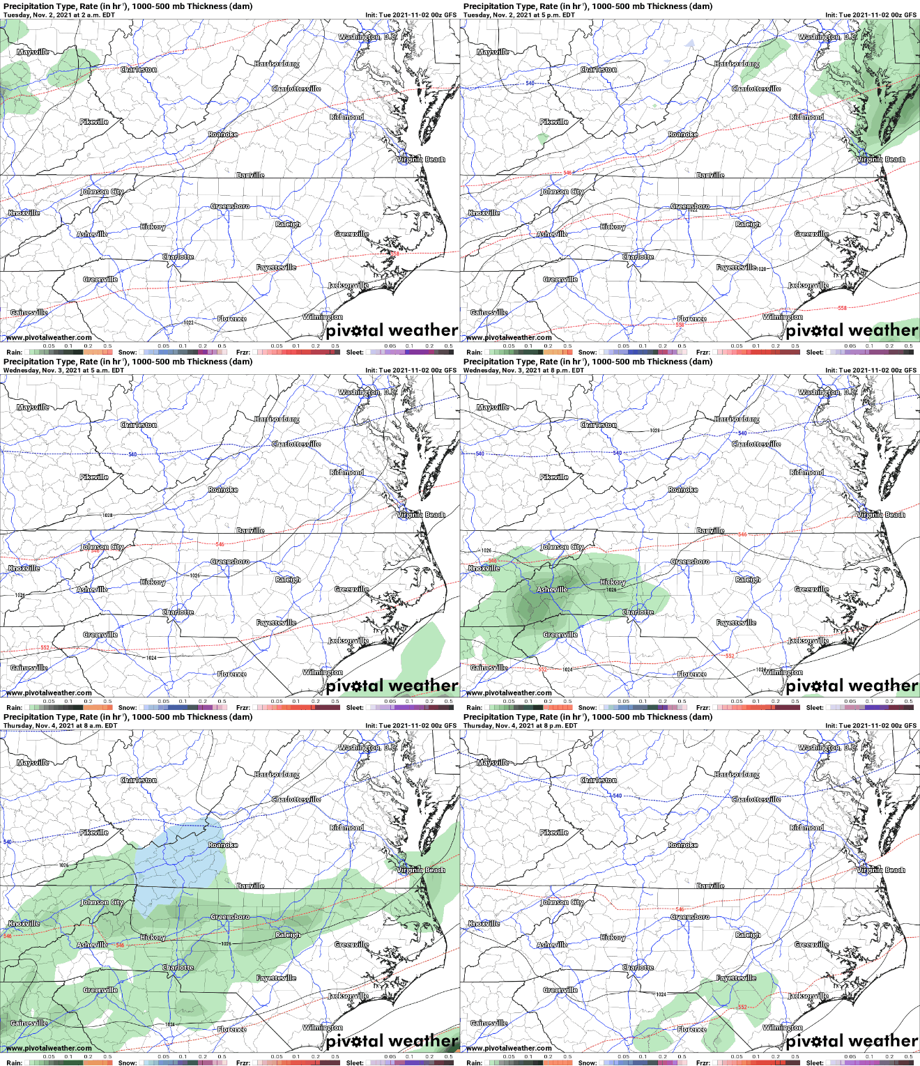
Some models have been hinting at the chance for scattered snow showers early Thursday morning. The atmosphere will warm over the day on Thursday, but around day break I believe that some around WNC will be seeing their first snowflakes of the season.
Which Models Show Winter Weather
At this point in time the European model along with the Canadian model and the short range NAM 3km all show some form of scattered snow showers from overrunning precipitation moving in from the South. As the day progresses, the warm nose will erode away any cold layer that was present and we will switch to just rainfall. Comparing those models with the GFS, and one will find that the GFS is the wettest solution, but is also the warmest. One of the main difference I am finding among models that will determine snowfall is the amount of dry air present in the atmosphere. I’ll explain below.
Contact my local trusted roofing source Matt at RedWolf Contracting Services to take care of all of your roof replacements. From shingles, to metal roofing, and even commercial rubber membrane, Matt has the resources and solutions to take care of your job in a professional and cost effective manner. Call (828) 772-9778 or visit nc-roofers.com to set up your free roof inspection.
Dry Air & Snowfall
When dry air is in place in an atmosphere, dynamic cooling can occur. Dynamic cooling is a process where an air parcel cools until the parcel is fully saturated with water. It is a natural phenomenon that occurs in nature. The European model is hinting at significantly drier air compared to what the GFS shows and that is creating some forecast conflict. The question on Thursday morning won’t be a matter of if there is precipitation, snow will fall around WNC if enough dry air is in place a loft. Below check out the most recent European model run compared to the most recent GFS model run.
European Model Courtesy of Pivotalweather.com
GFS Model Courtesy of Pivotalweather.com
Short Range Models
Checking in on the short range models, which are what we begin to focus on as the system approaches.. you’ll see that the NAM3km is also showing some snowfall early Thursday morning. While this doesn’t look to be impactful on roadways, many around the area could see their first snowflakes of the season. Look at the NAM 3km below. It also shows the dry air that causes the snowfall to occur.
NAM 3km Courtesy of Pivotalweather.com
High Elevation Accumulation Likely
No significant accumulation is expected, but the NAM 3km is showing a dusting to 1” being possible above 4500’ around WNC. These totals could go up if more dry air is present, but as of now it looks like the column get saturated and everyone switches to rainfall by 10-11am. Check out the Nam 3km below.
Snowfall Accumulation Courtesy of Pivotalweather.com
Live Update Coming
I’ll be doing a live update here in the next day or so to update you on where models have progressed to and what the most likely scenario will occur. Check back on my Facebook page for that soon!


